
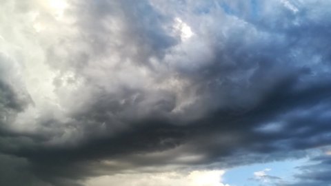
Sunshine, intense heat and some sudden thunderstorms. This is the picture of the today's weather, Thursday 13 August 2026, on the eve of Ferragosto. The African anticyclone continues to dominate Italy, but the atmosphere is not completely stable: the Civil Protection has issued a yellow weather alert for thunderstorms in some areas of Abruzzo, Basilicata, Calabria, Molise e SardiniaThese phenomena are expected especially in the afternoon, when the strong warming could favor sudden thunderstorms on the mountains and inland areas, with possible incursions towards the coasts.
Weather alert today, August 13: where thunderstorms are expected
The day still opens with sunshine and heat across most of Italy, but during the afternoon the temperatures will increase. the instabilityIn the North, thunderstorms are possible, especially in the Western Alps, while in the Centre the weather will remain mostly stable, with temperatures that could reach 38 degrees. The situation will be more hectic in the South, where thunderstorms could develop along the Apennines and locally reach the Tyrrhenian coast. Some storms are also expected in Sicily.
Among the most exposed areas is the Calabria, where thunderstorms could be locally intense. The risk of sudden phenomena comes after days already marked by particularly violent episodes of bad weather: in Toscana Severe thunderstorms, hailstorms, and even a tornado were recorded in Calcata, while in the Castelli Romani area, trees and branches fell.
Ferragosto still hot, but red dots decrease
Friday August 14th The heat will remain the protagonist, even if with a few degrees less in the Centre, where temperatures could still reach 37 degrees. In the South, there will be predominantly sunshine in the morning and some afternoon thunderstorms, especially in the south-east of the country. SiciliaFor August 15th, Saturday August 15, the picture will remain generally sunny and warm: in Toscana temperatures could reach 38 degrees, while some thunderstorms could affect the mountains of Calabria and south-eastern Sicily.
Even the red dots for heat are starting to decrease. For Friday seven cities are planned with the maximum alert level: Bari, Bolzano, Genoa, Messina, Palermo, Reggio Calabria, and CagliariA signal that anticipates a possible change of scenery in the coming days.
After mid-August, the weather front arrives: when the heat ends
The true turning could arrive immediately after mid-AugustAn Atlantic disturbance is in fact ready to reach Italy, bringing cooler air and gradually weakening the African anticyclone that has fueled this long period of heat. The first more organised rains could arrive at North part already from Sunday 16 August, while the Center-Sud It's expected to wait until Tuesday, August 18th. The situation could then remain unsettled for much of the week, with rain and showers at least until Friday, August 21st.
The passage of the disturbance could also be accompanied by temporal strong, lightning e hail, especially in areas where the cooler air at altitude will meet the still very warm air at lower levels. The severity of the worsening conditions will depend on how the low-pressure system evolves over the next few days.
For now, therefore, Ferragosto remains hot, but the long African interlude could have reached its final stage. Improvement is expected only in weekend of 22-24 August, when temperatures are expected to be more moderate, especially in the South, with highs around 30-32 degrees. After weeks of muggy heat and tropical nights, summer could thus change face right in the second half of August.